
All is well on the EPIC front. So, in the interim, I decided to offer this not-so-brief tangent on one of my biggest obsessions, the seafloor. Did you know that only a quarter of the ocean floor is mapped in high resolution? I was flabbergasted the first time I learned that we have better maps of the Martian surface than we do our own seabed here on Earth. All that pesky ocean water, essential for life, is opaque to light, shrouding the seafloor. This makes it impossible to image the shape of the seabed the way we do land. This is also why we have better maps of Mars, a dry planet with no water to mask our view of its rocky surface.
The fact that we have a relatively poor understanding of the seafloor morphology is crazier still considering that humanity has sent satellites to another planetary body 360 million kilometers away (Mars) and beamed back high-resolution images of its topography, let alone landed several rovers on its surface! This testifies to the challenging nature of the seafloor mapping problem (learn more about efforts to map the seabed by 2030 here).
Unlike light, sound travels efficiently through water. In fact, we can measure the seafloor depth by generating a pulse of sound using an underwater speaker (called an echosounder) attached to the hull of a ship. First we record the time it takes for the sound pulse to bounce off the seafloor and return to the ship. Then, since we know the speed of sound in water, it is straightforward to convert the two-way travel time of the sound pulse into seafloor depth.
Echosounders were developed in the 1920s and 30s. Visionary geoscientists, namely Marie Tharp and Harry Hess (among others), leveraged the sudden surge in seafloor profiling during World War II to create the first large-scale bathymetric maps of the Atlantic and Pacific Oceans. This ultimately led to the discovery of seafloor spreading and the plate tectonics revolution of the 1960s.
These days, we use much fancier tools, multibeam echosounders, to create swath bathymetry maps rather than linear profiles from a single echosounder (learn more about this and other seafloor mapping technologies here on Wikipedia). Yet there is still plenty of seafloor that remains to be mapped in high-resolution.
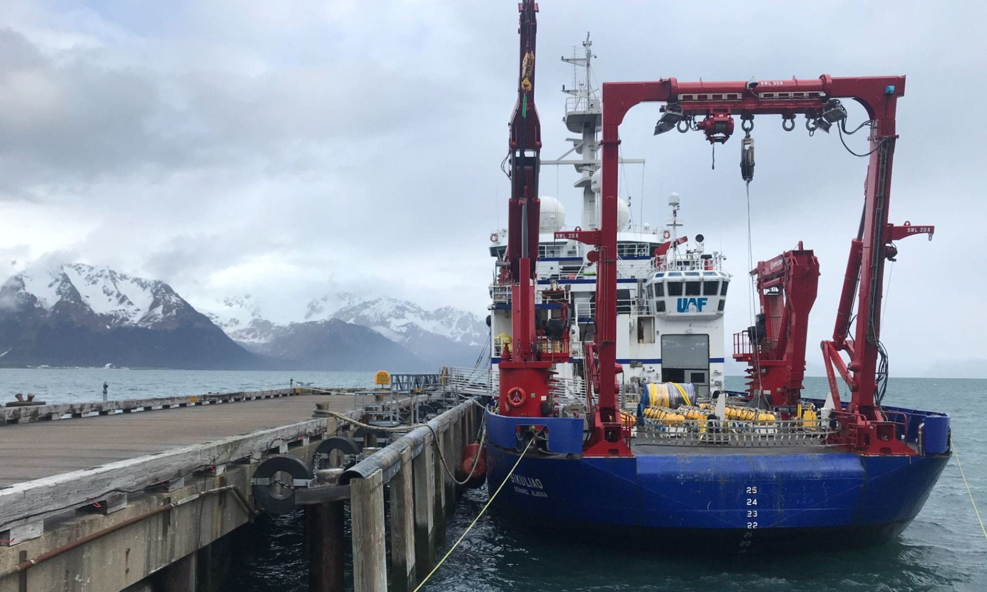
Which (finally…) brings me to the point of this post. We are proudly contributing to the Seabed 2030 mapping effort during our EPIC survey, using the multibeam system equipped on the R/V Langseth. The Google Earth images below show the extent of our mapping achieved so far, with the bottom image zooming in on a region riddled with seamounts. Seamounts are basically extinct volcanoes!


Indeed, we have even discovered multiple unmapped seamounts during our expedition, which we are now entitled to dedicate ceremonially with a name of our choosing (I am considering naming one after my cat, Soba Buckwheat Noodles. I know, best cat name ever). There is thought to be over 100,000 seamounts globally, but only a fraction have been mapped. That’s a lot of extinct volcanoes…

I could go on and on (and on) about how mesmerizing and awesome the seafloor is. I encourage all of you to stare at its beauty on Google Earth. Or check out GeoMapApp, a free software.